North - Nipekamew River
Natural Attraction
Add to Suitcase
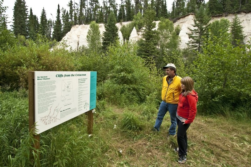
27 km E of junction Hwys 2 and 165, towards Nipekamew River; follow the road S on the W side of the river for 1.2 km to parking area. Hike the 1.5 km primitive trail to the sandstone cliffs.
Latitude: 54.7412° N,
Longitude: -104.9817° W
Longitude: -104.9817° W
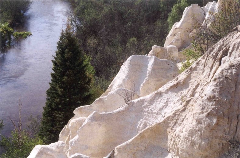
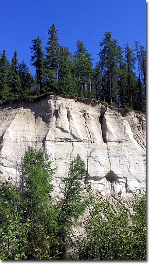
Hiking access only from parking area. 1.5 km primitive trail, surrounded by mature jack pine and spruce, leads to an opening on the Nipekamew River where the cliffs can be observed from across the river. Erosion of the Nipekamew River exposed these giant sand pillars that were deposited over 120 million years ago. Erosion of the cliffs have made them extremely fragile.
North - Nipekamew River