Central - Saskatoon
Public Trails, Curiosity / Roadside Attraction
Add to Suitcase
Highway 11, stretching from Regina to south of Prince Albert.
Latitude: 50.849816° N,
Longitude: -105.564876° W
Longitude: -105.564876° W
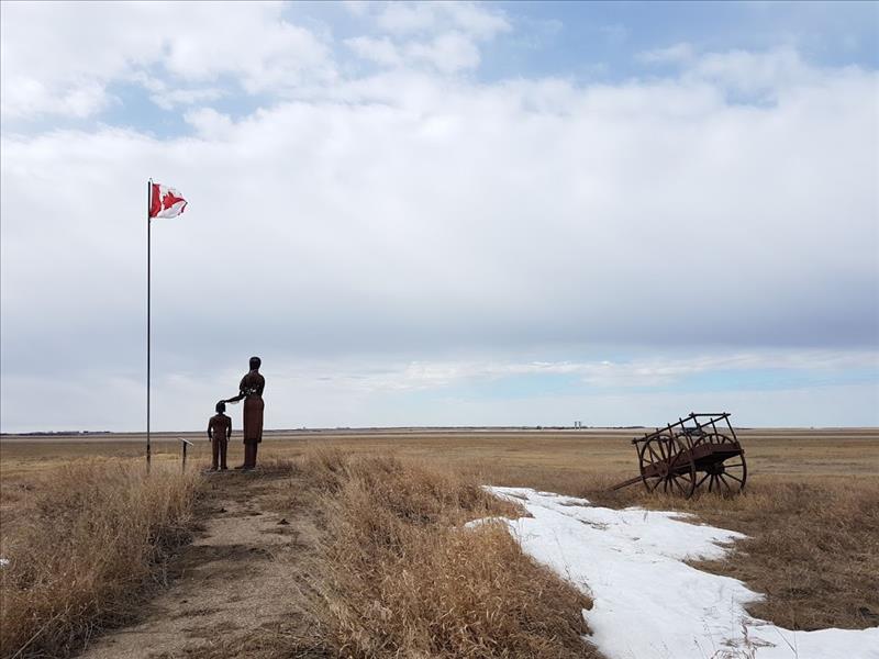
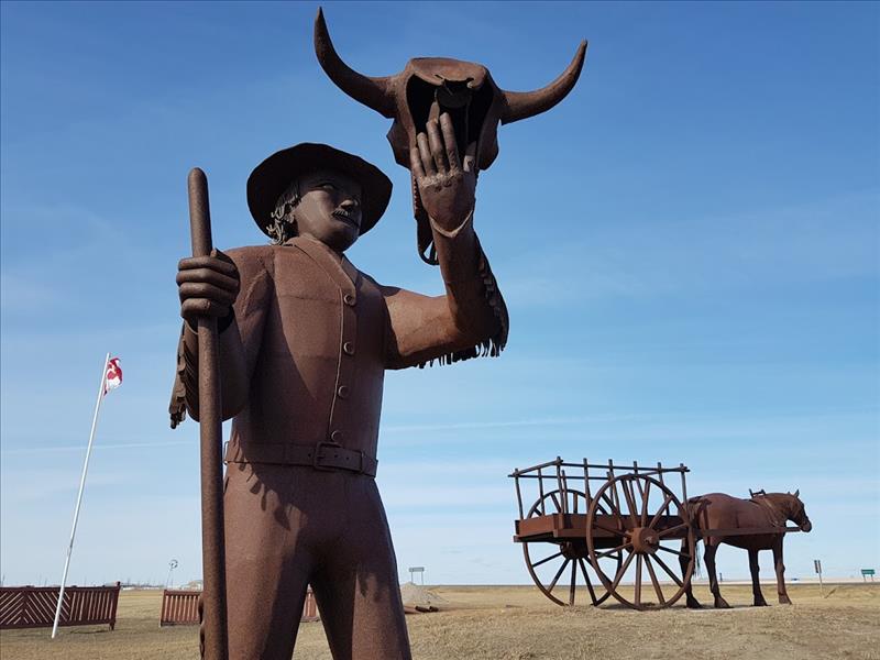
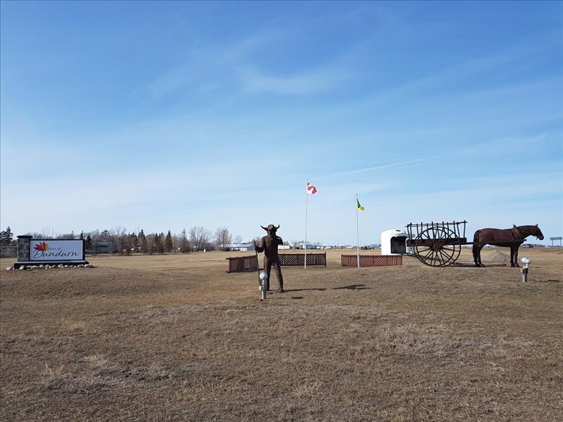
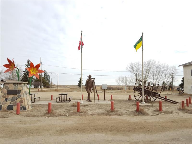
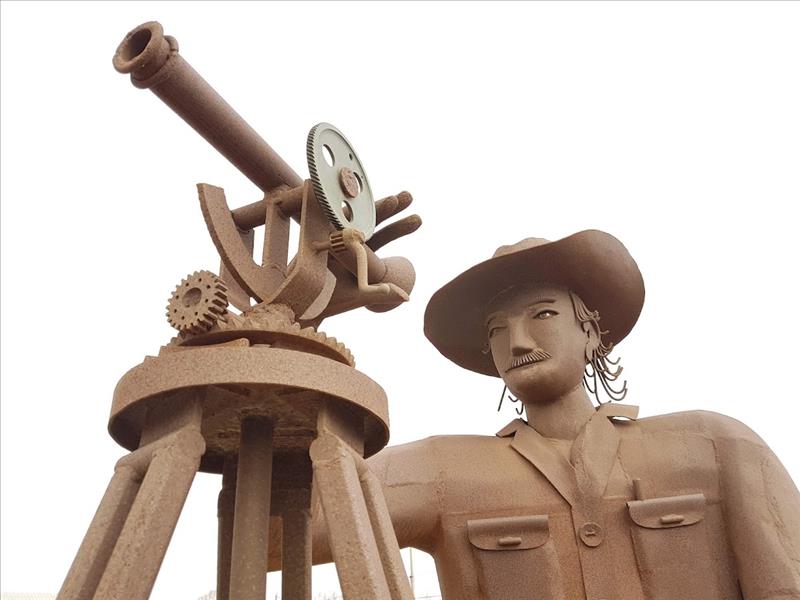
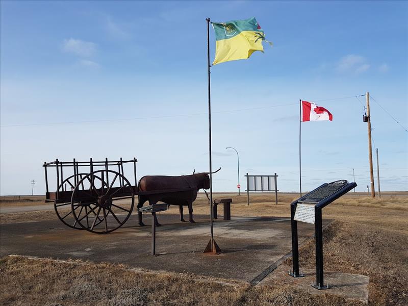
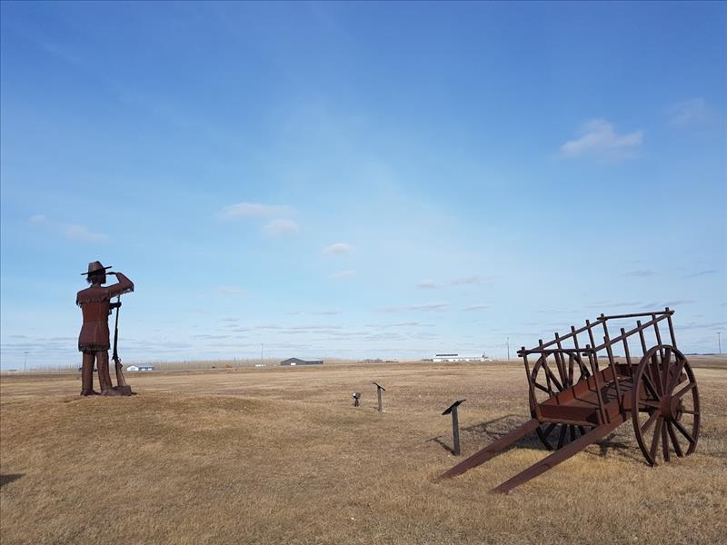
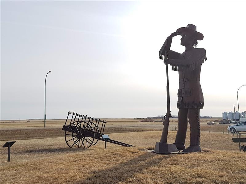
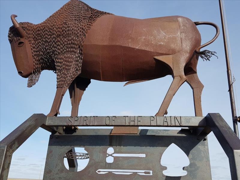
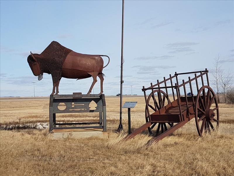
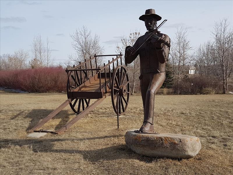
In 2001, Saskatchewan's Hwy 11 was renamed the 'Louis Riel Trail' in honour of Louis Riel, who led the 1885 Northwest Resistance and was executed in Regina for his participation in the uprising. This 364-km long trail features distinctive trail markers, beautiful outdoor sculptures created by Don Wilkins of Girvin and points of interest that are designed to raise awareness about this historic event and its significance on Saskatchewan and Canada.
The trail runs from the Qu'Appelle Valley in southern Saskatchewan to south of Prince Albert in northern Saskatchewan. Hiking, snowmobile and cross-country ski trails are also available just south of Prince Albert near the Boreal Nisbet Forest.
Several stops along the Louis Riel Trail are designed to raise awareness about the 1885 Northwest Resistance, particularly the Batoche National Historic Site, Fort Carlton Provincial Park and the Duck Lake Regional Interpretive Centre. Events are also held throughout the year in various communities along with a trial to commemorate the uprising and Louis Riel's contributions to the event and the Metis population of Saskatchewan.
Central - Saskatoon
.jpg)
.jpg)