South - Lumsden
Public Trails, Trans Canada Trail, Walking Tour, Scenic / Historic Tour
Add to Suitcase
Lumsden to Deer Valley.
Latitude: 50.64421° N,
Longitude: -104.8671° W
Longitude: -104.8671° W
The town of Lumsden offers two unique opportunities for trail enthusiasts - The Lumsden/Deer Valley section of the Trans Canada Trail and the Lumsden Walking Tour. Visit their website for links to current trail maps and brochures.
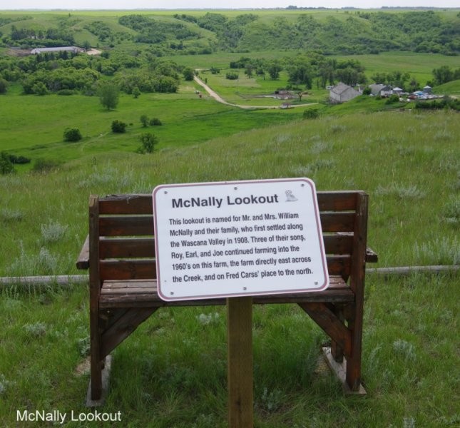
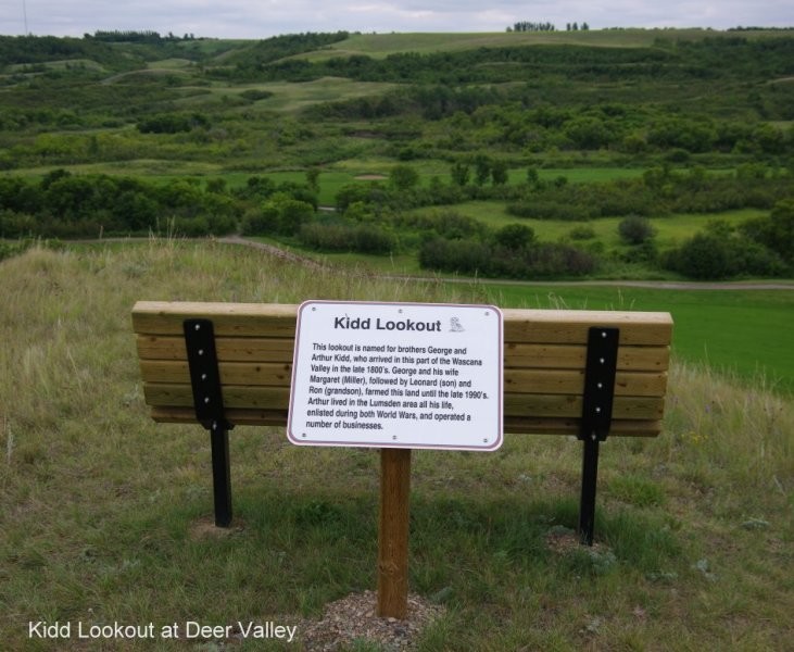
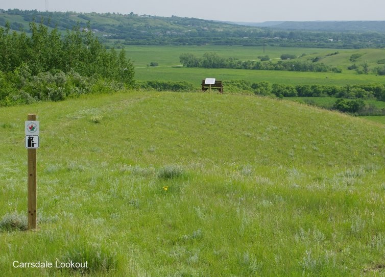
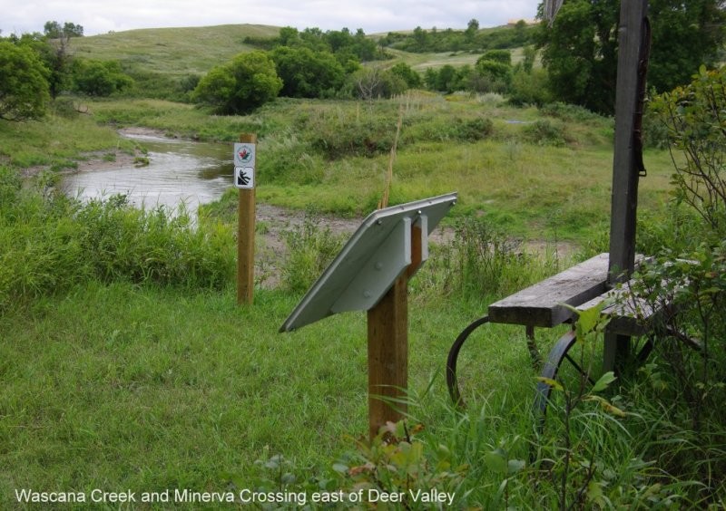
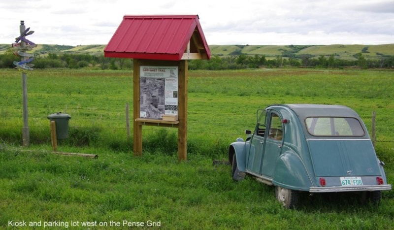
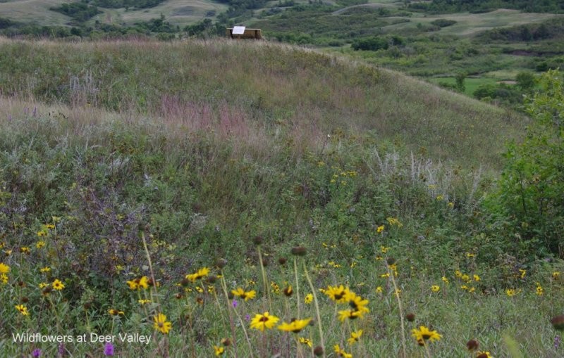
The Lumsden/Deer Valley section of the Trans Canada Trail has approximately 16 km of trail stretching from Lumsden River Park to Deer Valley. There are five information kiosks on the trail, each providing an overview of the Lumsden to Deer Valley section including a detailed topographical map of the area where the kiosk is situated. Walking, biking and hiking are suitable activities on the trail and canoeing/kayaking is a popular pursuit in the Qu’Appelle River and Wascana Creek. During the winter, walking within the town limits and cross-country skiing adjacent to the trail is possible; however, snowshoeing is the only suggested activity in the valley sections.
The Lumsden Walking Tour boasts 51 historical sites and buildings in the town of Lumsden. This 6.5-km round trip tour allows visitors to explore sites such as the Town Bell, the CNR Train Station (built in 1904), the first home ever built in the community (built 1888), Living Skies Retreat Conference Centre, a former home hospital and the Lumsden Museum Heritage Park (featuring displays and pictures about the town's vibrant heritage). The Lumsden Museum Heritage Park is only open to the public between June 1 and September 30.
South - Lumsden