
Latitude: 50.50628° N, Longitude: -101.5543° W
South - SE of Spy Hill 18 km and 1.4 km W. Site marked by cairn. Limited visitor day use facilities.
South - SE of Spy Hill 18 km and 1.4 km W. Site marked by cairn. Limited visitor day use facilities.
Add to Suitcase
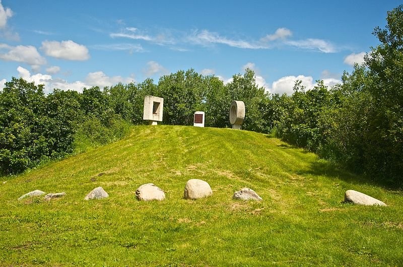
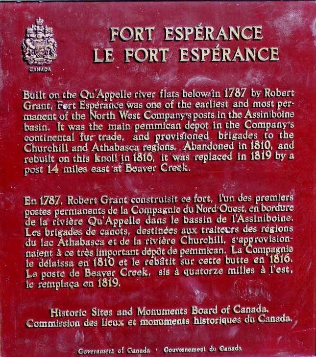
The Fort Espérance National Historic Site was designated a national historic site in 1959. The fort was one of the earliest and most permanent of the North West Company's posts in the Assiniboine basin, and the main pemmican depot in the company's continental fur trade provisioning brigades to the Churchill and Athabasca River.
The Fort Espérance National Historic Site was designated a national historic site in 1959. The fort was one of the earliest and most permanent of the North West Company's posts in the Assiniboine basin, and the main pemmican depot in the company's continental fur trade provisioning brigades to the Churchill and Athabasca River.
Location Info
SE of Spy Hill 18 km and 1.4 km W. Site marked by cairn. Limited visitor day use facilities.lat. 50.50628° N, long. -101.5543° W