South - Buffalo Pound Provincial Park
Public Trails, Trans Canada Trail
+
Add to Suitcase
Tourism Saskatchewan
Buffalo Pound Provincial Park, 19 km N of Moose Jaw on Hwy 2, 13 km E on Hwy 202. 24 km N of Hwy 1 via Hwy 301.
Latitude: 50.58529° N,
Longitude: -105.4228° W
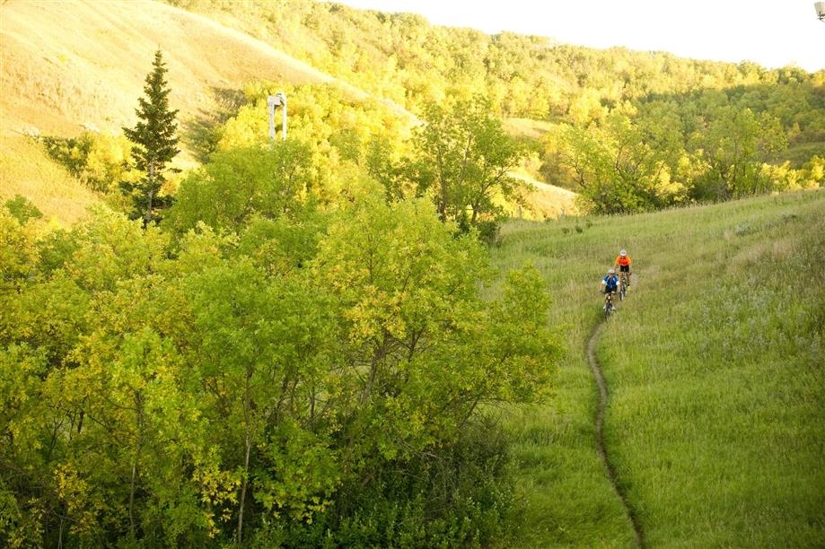
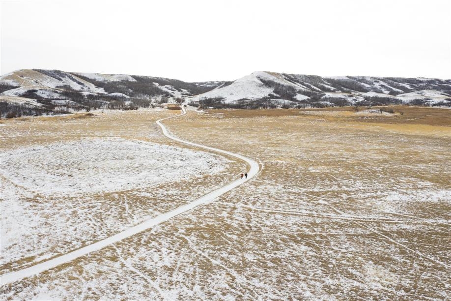
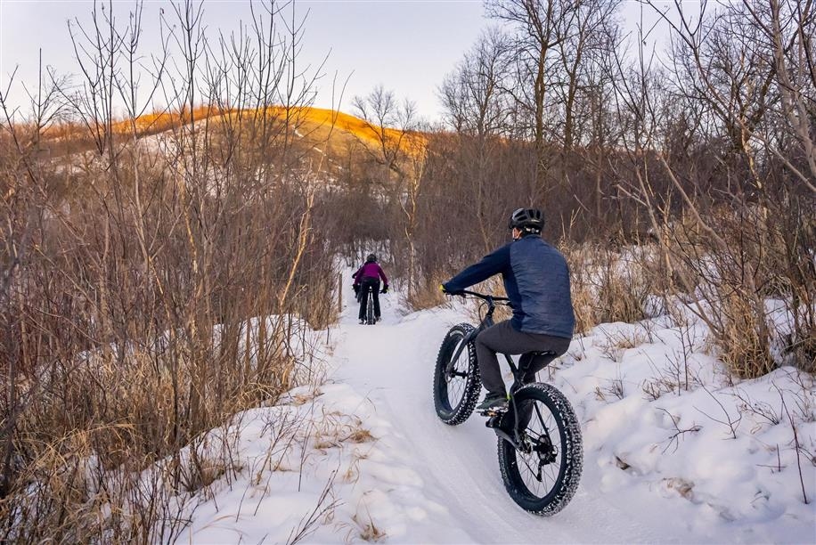
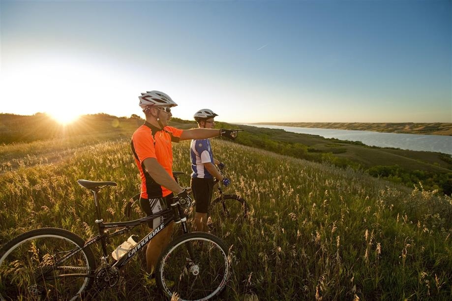
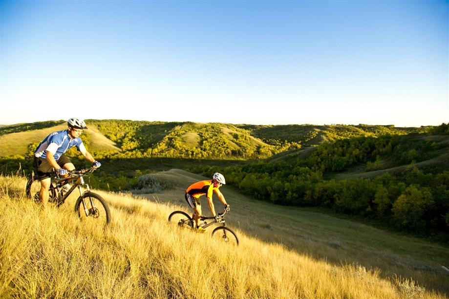
The Buffalo Pound Provincial Park Trails offer excellent hiking, mountain biking, fat biking, cycling and cross-country skiing for trail users of all ages and levels.

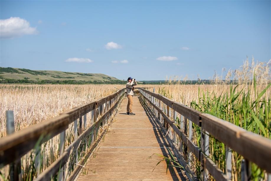
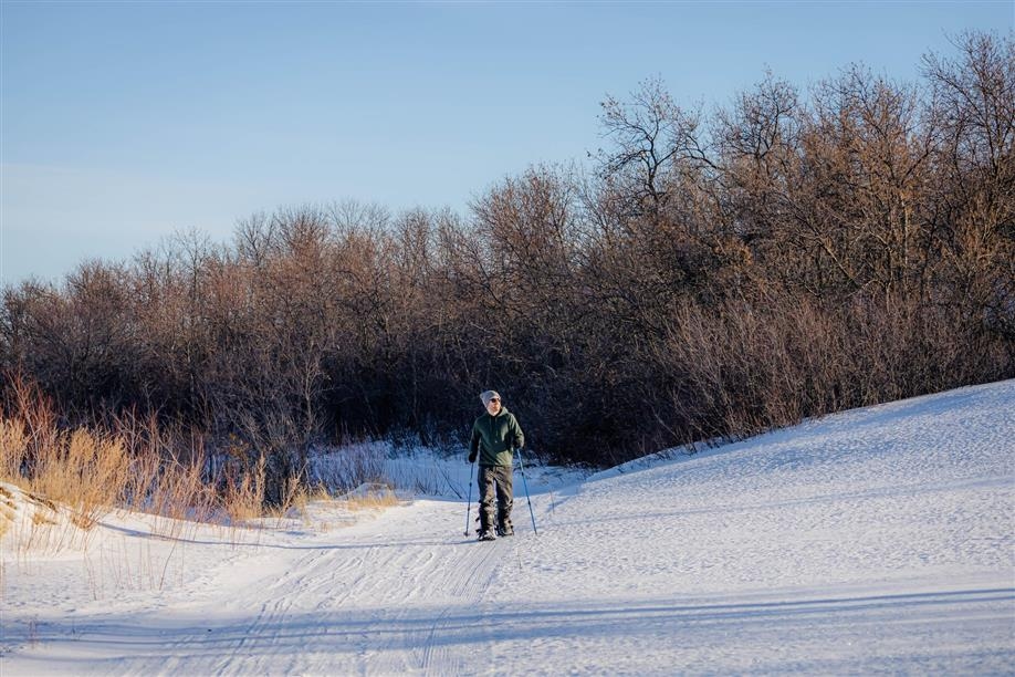
Nicolle Flats Nature Area features interpretive hiking and mountain biking trails with breathtaking views and outstanding bird and wildlife watching opportunities. In the winter, the trails are groomed for cross-country skiing.

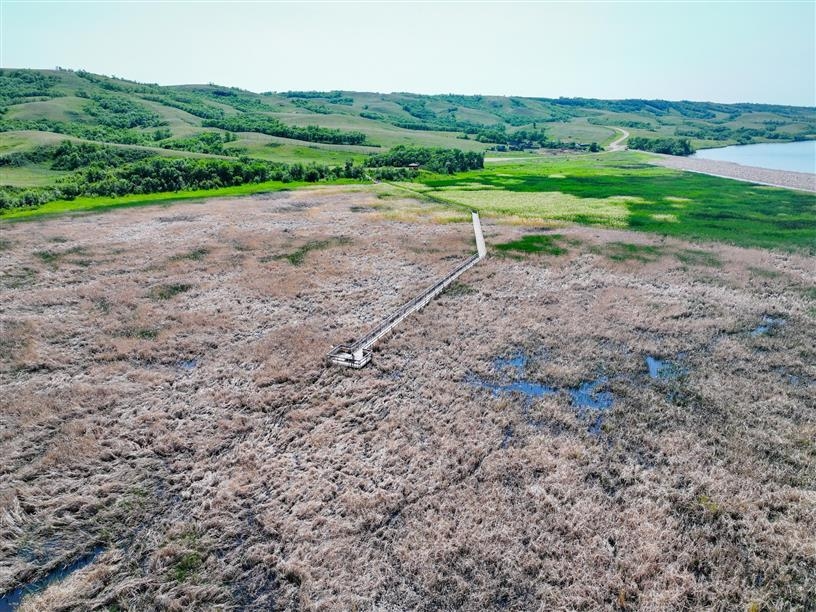
The nature area features several trails, including the Valley Trail (roughly 1 km), the Nicolle Flats Trail (3 km each way), the Valley Interpretive Trail (1.5 km), the Dyke Trail/Trans Canada Trail (8 km) and the Bison View Interpretive Trail (2.9 km). Nicolle Flats Marsh Boardwalk Interpretive Trail is currently closed.

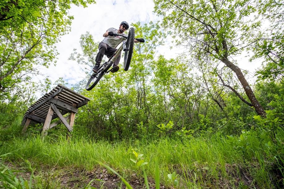
The park has partnered with local mountain bike clubs including Moose Jaw Pavers to maintain an extensive 30 km network of mountain biking and fat biking trails. Several national and provincial mountain bike races, including the Canada Cup have been held here. Trails on the south side of Buffalo Pound Lake include the Terminator, Joe's, White Track and the Barrels. A short stretch on pavement brings you to the trail circling Nicolle Flats and heading northwest to the North Shore Trail.
SHOW MORE

Rates And Discounts

  • Entrance fee

Access

  • Country / Rural

Amenities

  • Free parking
  • Groomed trail
  • Interpretive signage
  • Picnic area
  • Trail brochure / Map
  • Trail markers

Activities

  • Birding / Wildlife viewing
  • Birdwatching
  • Cross-country skiing
  • Cycling
  • Fat biking
  • Geocaching
  • Hiking
  • Mountain biking
  • Snowshoeing
  • Wildlife viewing

Equipment Rental

  • Snowshoe rental

Contact Info

Phone(s): 306-694-3229 |
buffalopound@gov.sk.ca

Buffalo Pound Provincial Park, 19 km N of Moose Jaw on Hwy 2, 13 km E on Hwy 202. 24 km N of Hwy 1 via Hwy 301.
Latitude: 50.58529° N, Longitude: -105.4228° W

South - Buffalo Pound Provincial Park

The Buffalo Pound Provincial Park Trails offer excellent hiking, mountain biking, fat biking, cycling and cross-country skiing for trail users of all ages and levels.

Nicolle Flats Nature Area features interpretive hiking and mountain biking trails with breathtaking views and outstanding bird and wildlife watching opportunities. In the winter, the trails are groomed for cross-country skiing.

The nature area features several trails, including the Valley Trail (roughly 1 km), the Nicolle Flats Trail (3 km each way), the Valley Interpretive Trail (1.5 km), the Dyke Trail/Trans Canada Trail (8 km) and the Bison View Interpretive Trail (2.9 km). Nicolle Flats Marsh Boardwalk Interpretive Trail is currently closed.

The park has partnered with local mountain bike clubs including Moose Jaw Pavers to maintain an extensive 30 km network of mountain biking and fat biking trails. Several national and provincial mountain bike races, including the Canada Cup have been held here. Trails on the south side of Buffalo Pound Lake include the Terminator, Joe's, White Track and the Barrels. A short stretch on pavement brings you to the trail circling Nicolle Flats and heading northwest to the North Shore Trail.

SHOW MORE

Location Information

Buffalo Pound Provincial Park, 19 km N of Moose Jaw on Hwy 2, 13 km E on Hwy 202. 24 km N of Hwy 1 via Hwy 301.

View on map >

lat. 50.58529° N, long. -105.4228° W

Contact Info

Phone: 306-694-3229 |
buffalopound@gov.sk.ca