North - Clearwater River Provincial Park
Public Trails, Natural Attraction
+
Add to Suitcase
Tourism Saskatchewan
Road access to La Loche; boat access required to trail head at Wallis Bay on Lac la Loche.
Latitude: 56.52279° N,
Longitude: -109.4886° W
The Methye Portage Historic Trail, northern Saskatchewan's longest and most historic portage trail, spans the plateau linking the Churchill and Arctic watersheds. In 1778, the famous explorer, Peter Pond, guided by the Dene First Nations crossed this 20.5 km trail, opening the first practical overland trade route to the Northwest. Plaque commemorating Peter Pond located at south end of the trail.

This one-way hiking trail extends from the northwest end of Wallis Bay on Lac la Loche in a northwest direction to the Clearwater River for 20.5 km. There is no road to the start of the trail; the trail is accessible by water and air travel only. The south end of the trail starts at a conspicuous rock cairn approximately 165 m up La Loche Creek which empties into the northwest shore of Wallis Bay. Boat or air access to trail head is available from La Loche, a small community 304 km north of Green Lake along Hwy 155.

Trail covers difficult terrain and is recommended for experience hikers only. It is located in a wilderness area - no services on site. Prior to visiting the area, contact the Ministry of Parks, Culture & Sport office at 1 - 101 Railway Ave, Meadow Lake for additional information.
SHOW MORE

Access

  • Backcountry
  • Country / Rural
  • Wilderness

Activities

  • Hiking
  • Multi-day hiking
Maps & Docs

Contact Info

Phone(s): 306-240-5241 |
Marj.matchee@gov.sk.ca

Road access to La Loche; boat access required to trail head at Wallis Bay on Lac la Loche.

Latitude: 56.52279° N, Longitude: -109.4886° W

North - Clearwater River Provincial Park

The Methye Portage Historic Trail, northern Saskatchewan's longest and most historic portage trail, spans the plateau linking the Churchill and Arctic watersheds. In 1778, the famous explorer, Peter Pond, guided by the Dene First Nations crossed this 20.5 km trail, opening the first practical overland trade route to the Northwest. Plaque commemorating Peter Pond located at south end of the trail.
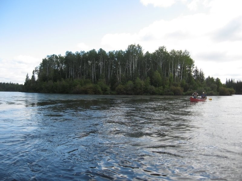
This one-way hiking trail extends from the northwest end of Wallis Bay on Lac la Loche in a northwest direction to the Clearwater River for 20.5 km. There is no road to the start of the trail; the trail is accessible by water and air travel only. The south end of the trail starts at a conspicuous rock cairn approximately 165 m up La Loche Creek which empties into the northwest shore of Wallis Bay. Boat or air access to trail head is available from La Loche, a small community 304 km north of Green Lake along Hwy 155.

Trail covers difficult terrain and is recommended for experience hikers only. It is located in a wilderness area - no services on site. Prior to visiting the area, contact the Ministry of Parks, Culture & Sport office at 1 - 101 Railway Ave, Meadow Lake for additional information.

SHOW MORE

Location Information

Road access to La Loche; boat access required to trail head at Wallis Bay on Lac la Loche.

View on map >

lat. 56.52279° N, long. -109.4886° W

Contact Info

Phone: 306-240-5241 |
Marj.matchee@gov.sk.ca