South - Saskatchewan Landing Provincial Park
Public Trails
+
Add to Suitcase
Tourism Saskatchewan
Saskatchewan Landing Provincial Park, 50 km N of Swift Current on Hwy 4.
Latitude: 50.64728° N,
Longitude: -107.9632° W
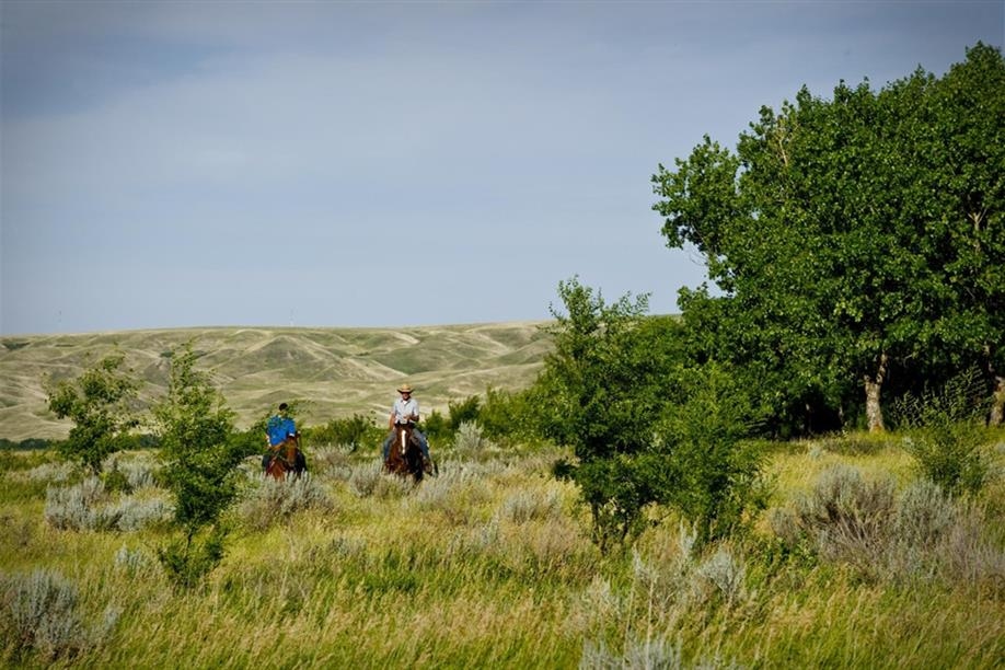
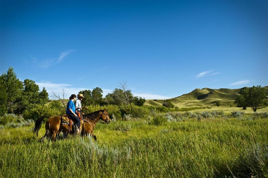
Saskatchewan Landing Provincial Park features several challenging hiking trails, beginner and intermediate level cycling roads and interesting canoe and kayak routes. The park is also one of two provincial parks with services for equestrian trail users. The trails are not designated, but equestrian riders are welcome to explore kilometres of scenic rolling terrain on the south side of the river within the park boundary. A limited-service campground with corrals, tie stalls and water access, is available on this side of the river as well.

The park is home to three trails - the Rings, Ruts and Remnants Trail (2.6 km), the Ridges and Ravines Trail (1.2 km), and the Prairie Vista Trail (2.1 km basic trail, 3.5 km to hike to lookout).

For centuries, Saskatchewan Landing has been a natural crossing point on the South Saskatchewan River. Indigenous peoples, trail freighters, government surveyors, European settlers and North West Mounted Police have all passed this way. On the Rings, Ruts and Remnants Trail, spend 1.5 - 2 hours hiking into the past with this historic hike. Walk among the tipi rings and stone cairns of the Indigenous people that inhabited this river valley. Imagine the life of early homesteaders and the hardships they faced. View the remnants of homesteads of past settlers, and the ruts created by thousands of wagons as they made their way through Saskatchewan Landing. This trail has several large hills that may be difficult for some hikers. Horses and hikers share this trail.

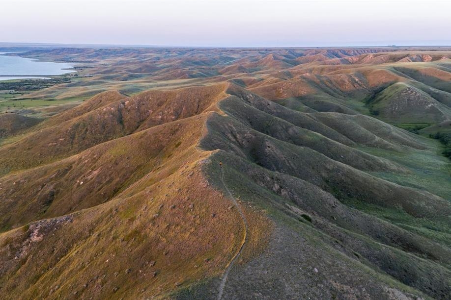
The Ridges and Ravines trail, located just north of the Bearpaw campground, is a 45 minute hike that will take you through some of the geological and geographical features of the park. Ravine hollows and rib-like ridges scar the sides of the South Saskatchewan River Valley. Along this trail, you will learn how these features are created and how they enhance the diversity of the prairie ecosystem. You will ascend the ravine bottom up to the ridge top and experience a glacial rock garden, before stopping for a break to overlook the campground. This hike has a gradual incline and then a sharp decline that could be difficult for some hikers.

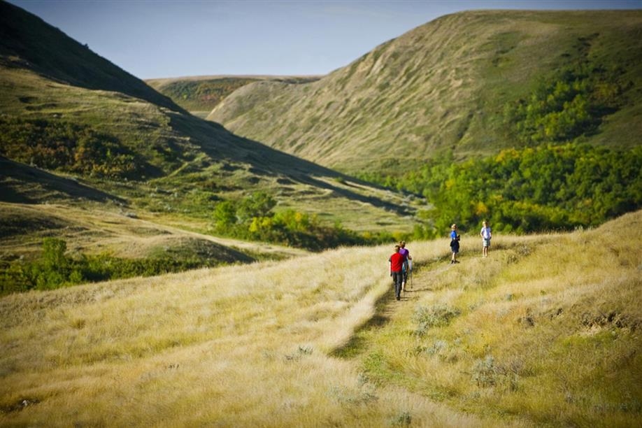
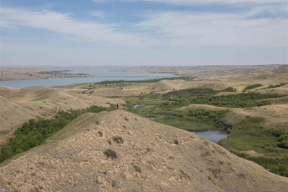
On the Prairie Vista trail, explore the diversity of the prairie ecosystem on this 1 - 1.5 hour hike into the hills. Start out by seeing how a little stream can support lush vegetation in a coulee. Keep your eyes open for deer and antelope as this is an excellent viewing area. Climb up the hill to the viewpoint and look over the majestic coulee landscape to view the Goodwin House and bridge from afar. Traverse back and see the difference a lack of water can have on the vegetation. This trail is one gradual incline and one gradual decline. Horses and hikers share this trail.

Birdwatchers will enjoy exploring the trails network as the park is home to several birds on the rare or endangered species list, including ferruginous hawks, piping plovers, prairie falcons, burrowing owls, golden eagles and loggerhead shrikes. Visitors to the park are also likely to encounter antelope, mule deer and bobcats that are popular in the area.

Cyclists are only permitted on the park's roadway system; however, they will still be treated to a variety of landscapes, including well-treed areas, native prairie terrain, ravines and large hills. Meanwhile, canoe and kayak enthusiasts will love exploring the shores of Lake Diefenbaker.
SHOW MORE

Rates And Discounts

  • Entrance fee

Access

  • Country / Rural

Amenities

  • Free parking
  • Interpretive signage

Activities

  • Birding / Wildlife viewing
  • Canoeing
  • Cycling
  • Geocaching
  • Hiking
  • Horseback riding
  • Kayaking

Contact Info

Phone(s): 306-375-5525 |
sasklanding@gov.sk.ca

Saskatchewan Landing Provincial Park, 50 km N of Swift Current on Hwy 4.

Latitude: 50.64728° N, Longitude: -107.9632° W

South - Saskatchewan Landing Provincial Park

Saskatchewan Landing Provincial Park features several challenging hiking trails, beginner and intermediate level cycling roads and interesting canoe and kayak routes. The park is also one of two provincial parks with services for equestrian trail users. The trails are not designated, but equestrian riders are welcome to explore kilometres of scenic rolling terrain on the south side of the river within the park boundary. A limited-service campground with corrals, tie stalls and water access, is available on this side of the river as well.
The park is home to three trails - the Rings, Ruts and Remnants Trail (2.6 km), the Ridges and Ravines Trail (1.2 km), and the Prairie Vista Trail (2.1 km basic trail, 3.5 km to hike to lookout).

For centuries, Saskatchewan Landing has been a natural crossing point on the South Saskatchewan River. Indigenous peoples, trail freighters, government surveyors, European settlers and North West Mounted Police have all passed this way. On the Rings, Ruts and Remnants Trail, spend 1.5 - 2 hours hiking into the past with this historic hike. Walk among the tipi rings and stone cairns of the Indigenous people that inhabited this river valley. Imagine the life of early homesteaders and the hardships they faced. View the remnants of homesteads of past settlers, and the ruts created by thousands of wagons as they made their way through Saskatchewan Landing. This trail has several large hills that may be difficult for some hikers. Horses and hikers share this trail.
The Ridges and Ravines trail, located just north of the Bearpaw campground, is a 45 minute hike that will take you through some of the geological and geographical features of the park. Ravine hollows and rib-like ridges scar the sides of the South Saskatchewan River Valley. Along this trail, you will learn how these features are created and how they enhance the diversity of the prairie ecosystem. You will ascend the ravine bottom up to the ridge top and experience a glacial rock garden, before stopping for a break to overlook the campground. This hike has a gradual incline and then a sharp decline that could be difficult for some hikers.

On the Prairie Vista trail, explore the diversity of the prairie ecosystem on this 1 - 1.5 hour hike into the hills. Start out by seeing how a little stream can support lush vegetation in a coulee. Keep your eyes open for deer and antelope as this is an excellent viewing area. Climb up the hill to the viewpoint and look over the majestic coulee landscape to view the Goodwin House and bridge from afar. Traverse back and see the difference a lack of water can have on the vegetation. This trail is one gradual incline and one gradual decline. Horses and hikers share this trail.

Birdwatchers will enjoy exploring the trails network as the park is home to several birds on the rare or endangered species list, including ferruginous hawks, piping plovers, prairie falcons, burrowing owls, golden eagles and loggerhead shrikes. Visitors to the park are also likely to encounter antelope, mule deer and bobcats that are popular in the area.

Cyclists are only permitted on the park's roadway system; however, they will still be treated to a variety of landscapes, including well-treed areas, native prairie terrain, ravines and large hills. Meanwhile, canoe and kayak enthusiasts will love exploring the shores of Lake Diefenbaker.

SHOW MORE

Location Information

Saskatchewan Landing Provincial Park, 50 km N of Swift Current on Hwy 4.

View on map >

lat. 50.64728° N, long. -107.9632° W

Contact Info

Phone: 306-375-5525 |
sasklanding@gov.sk.ca